Brandywine Creek Watershed Study
Project Description

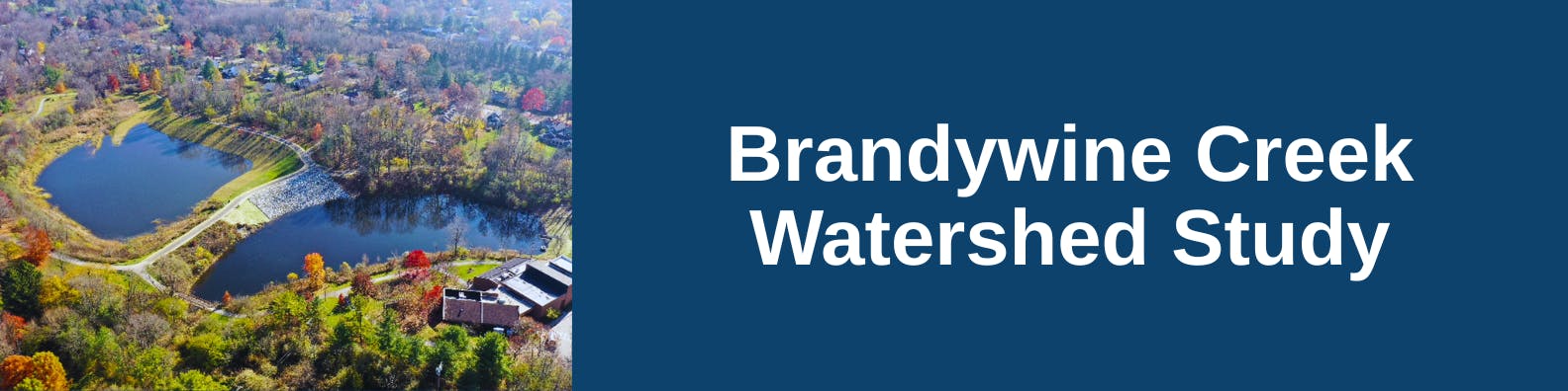
The City Administration is requesting a comprehensive update to the Brandywine Creek Watershed drainage study to better understand and identify existing local flooding and stormwater issues. This will help prioritize future capital improvement projects within the watershed. The original study, completed in 2019 with the Northeast Ohio Regional Sewer District (NEORSD), focused primarily on larger, regional stormwater system components, with minimal analysis of smaller pipe and stream networks.
Since 2019, the City has finished several capital improvement projects to mitigate flooding, including improvements at the Barlow Community Center Lake Dams. Additional projects from the 2019 study are currently in design and planned for future construction. Given the flooding on August 8, 2024, limits of the 2019 study and the recently completed projects, an updated and expanded study is warranted. See map attached showing the overall watershed, limits of 2019 study and anticipated study expansion areas.
This study will evaluate the Brandywine Creek Tributary watershed's stormwater system, including major streams, bridges, culverts, and trunk storm sewer mains (18 inches and larger) located within its drainage area. We will catalog existing stormwater infrastructure, generate a new hydrologic and hydraulic model, and then develop and rank alternative solutions to mitigate identified flooding problems and improve water quality. The findings will then be compiled into a stormwater master plan, presented to Council, and used for future capital improvement project planning and budgeting.
Public Input
We want to hear from you! The City is holding its first public open house for the Watershed Study to gather resident input on previous flooding events, which is critical for our data collection and model calibration efforts. City staff and our consultant will present the model's construction to date, discuss its goals, and answer your questions. You can also submit comments online via this website through February 4, 2026. A second public meeting will be scheduled later to present potential solutions for mitigating future flooding.
Public Input Meeting – June 18, 2026
A public meeting will be held on Thursday, June 18, 2026 from 5:30 p.m. to 7:30 p.m. at Hudson High School Auditorium (2500 Hudson-Aurora Road), to receive public input.
What to Expect at the Public Meeting
At the upcoming public meeting, the City's engineering consultant will present an overview of an ongoing study focused on improving the Brandywine Creek Watershed. The presentation will cover the study's purpose: evaluating existing drainage problems and developing solutions to prevent future flooding. The consultant will explain the methodology, including how hydraulic modeling is used to simulate storm events and identify areas where the current infrastructure is undersized.
City and consultant staff will be available to discuss study findings, show maps and data that highlight specific problem areas like frequently flooded streets, and answer questions. For this initial meeting, the City will only introduce potential solutions currently under evaluation.
Following this meeting, staff will summarize public feedback and present the findings to Hudson City Council. The City will then update its recommendations before holding a second public meeting to get more input, ultimately finalizing the study and its recommendations.
Interactive Map Comments
Can't attend the public meeting? We welcome your comments online. Click on the Interactive Map, drop your pin, answer the questions, and click "enter" and your pin with comments will be displayed on the map.
Or, you may complete the Survey Section below.
Comments will be accepted through February 4, 2026.
Questions
Have questions? Click on the Questions tab below to ask a question and we will get back to you with a response, or email Engineering@hudson.oh.us.
Ask your Questions and Offer Comments
Have a question? Leave your question here and we will ge back to you with a response.

FAQs
-
 Tinkers Creek Watershed Study
- What does a “100-year storm” event really mean?
- Why does it seem that extreme rain events hit our area more often?
- If the August 8, 2024 storm was one of the worst rain events to cause flooding, why did my property get flooded in other rain events including this spring?
- For comparison, what size rainfall event hit Hudson and the region on August 24, 2024?
- What is the Brandywine Creek Watershed Study and how will it help my neighborhood?
- How will the City address the severe storm events like what hit the area last August 8, 2024?
- Why is my basement flooding, even though I don't live next to a creek?
- Will the study evaluate sanitary sewer backups into homes?
- What specific requirements and inspection schedule are in place for stormwater control?
- Is there a more detailed map available to help residents identify which watershed their property is located in?

Who's Listening
-

Phone 330-342-1770 Email engineering@hudson.oh.us
Thank you for your contribution!
Help us reach out to more people in the community
Share this with family and friends